
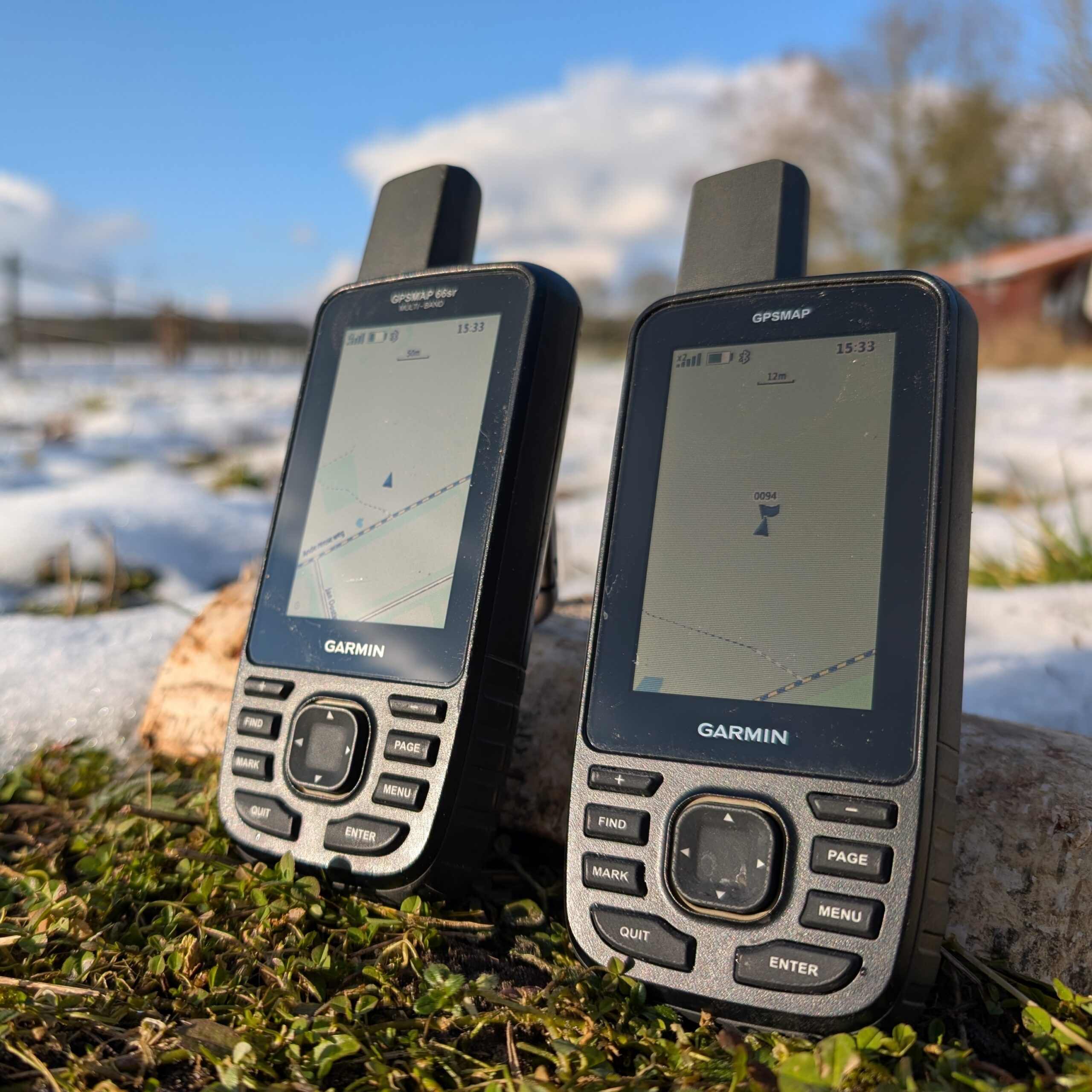
To prepare for hiking in the mountainous area of Madeira, I bought a Garmin GPSMAP 67. Same GPS chip as my Fenix 7 and Edge 1040, but a better antenna. Due to the observation of some unexpected odd behavior with respect to the Fenix 7 and Edge 1040 and a disturbing error in the device, I do not trust it. Unless Garmin solves this error I am reluctant to use it. Therefore, I also bought its predecessor the Garmin GPSMAP 66sr as well, second hand. Both devices look the same, but differences exist. On some fora I found indication that this device should be more accurate. So lets put it to the test!
Important notice: during testing I found a serious issue on the GPSMAP 67 on which I reported in another post. Due to this issue the GPSMAP67 is unreliable because it might show your location with a large error. I reported it to Garmin Support but they don’t take it seriously and just refer to their FAQ and state it is ‘by design’. See also this topic on the Garmin forum.