Month: April 2021

White balance underwater

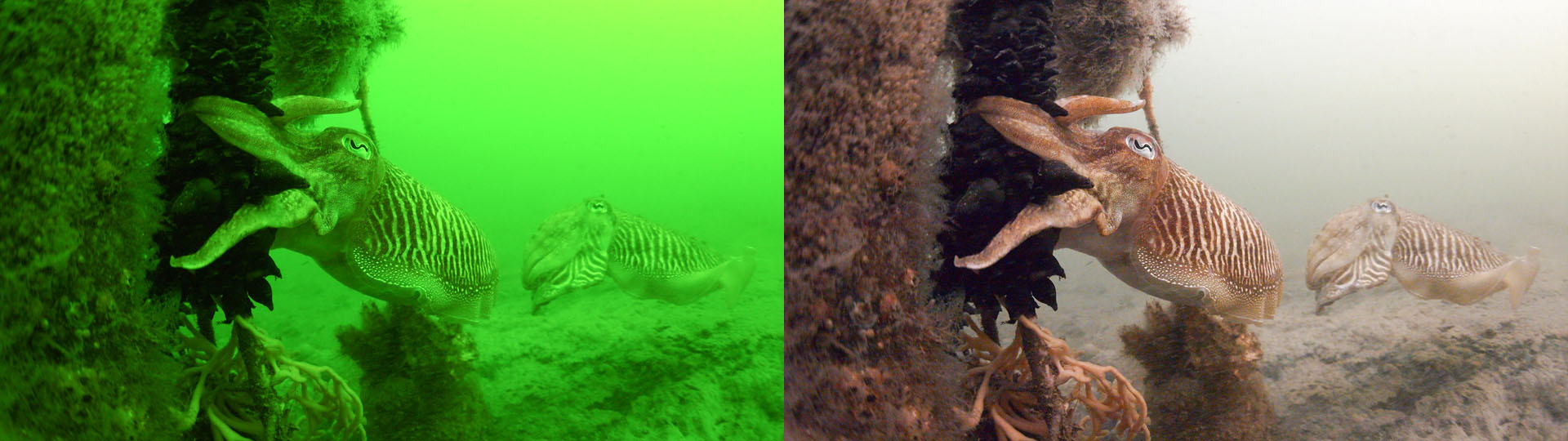
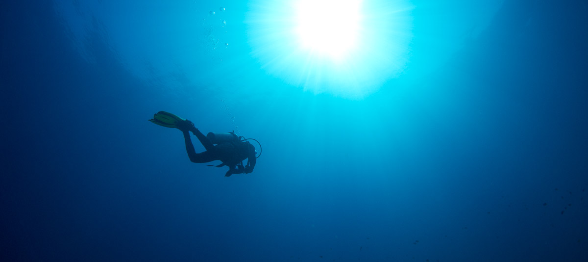
A well known phenomenon to divers is the fact that water absorbs light, the red component in the light the most. This makes water appear blue or greenish. The deeper we get, the stronger the effect: it gets darker and it gets more blue. Diver eyes cope with it, cameras do not, as can be seen from the left picture. Therefore we need correcting the whitebalance, so we end up with something presentable.

OziExplorer maps from GeoTIFF

Introduction

I still find Oziexplorer an excellent and versatile program for navigation, despite of the many, many apps relying on on-line maps.

This page describes how to create Oziexplorer maps from GeoTIFF, including map merge. As an example we take the Basis Registratie Topografie (BRT) Top25raster 1:25.000 maps of the Netherlands that can be downloaded from PDOK and we will create an ozfx4 map covering the entire Netherlands.

The GeoTIFF format is an image tif format that contains geo information.