Introduction
While writing the previous post on Rijksdriehoeksmeting and OziExplorer, we came upon two map projections: Oblique Stereographic and Transverse Mercator. In this post we will have a look at the Mercator and Transverse Mercator projections and try to compare. Both projections are quite frequently used. So let’s have a look at them.
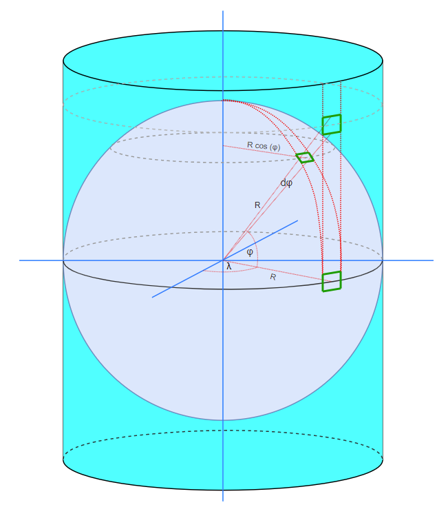
Mercator projections are cylindrical projections. The earth, represented by a spheroid or ellipsoid, is projected on a cylindrical surface. In contrast to a sphere, a cylinder can be flattened out as a 2D surface, the map.

The page is supported by a Java code project MapDatumConvert on Github in which I have programmed the projections and Map Datum conversions between Rijksdriehoeksmeting and WGS84.
